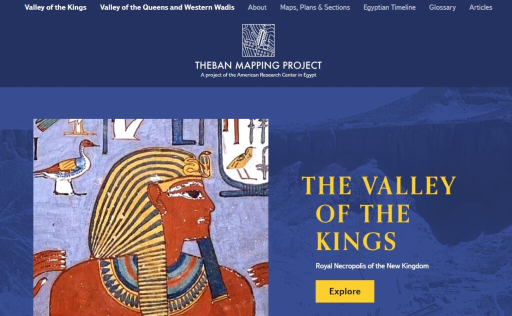
Theban Mapping Project
The Theban Mapping Project has been working in Thebes and particularly the Valley of the Kings for nearly three decades. The project and its focus have changed a lot over this period of time and even now the Theban Mapping Project continues to develop and expand.
The purpose of the Theban Mapping Project is to design and implement existing condition reports and management plans for the archaeological sites of the Theban Necropolis. The website makes available the TMP’s maps, drawings, images, and descriptions to provide an authoritative resource for scholars, students, teachers, on-site inspectors, and tourists. Its goals are to enhance visitors experience, support long-term preservation, facilitate study, and more effectively manage one of the world’s most valuable archaeological treasures.
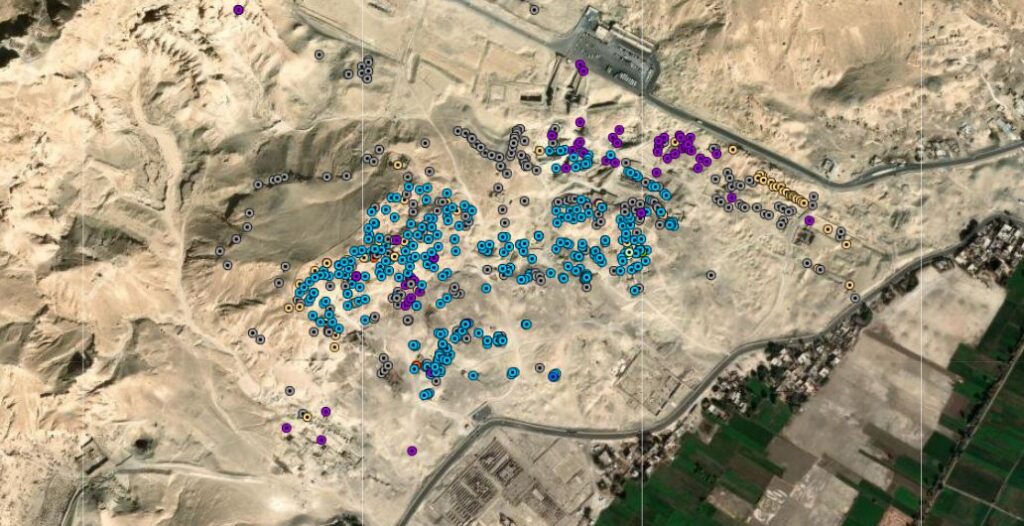
On-line Geographical Information System of the Theban Necropolis
An interdisciplinary research initiative by Peter Piccione and Norman Levine to create a new research tool in the ArcGIS program for Egyptologists and geologists. A geographical information system (GIS) of the cemeteries of ancient Western Thebes. More than 700 private tombs and features out of 2,000+ have been mapped currently by satelite and systematically catalogued.
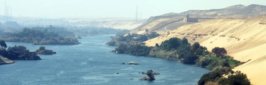
Borderscape
The BORDERSCAPE WebGIS databases and web app are outcomes of the BORDERSCAPE Project – Egyptian State Formation and the Changing Socio-Spatial Landscape of the Nile First Cataract Region in the 4th and 3rd millennia BCE.
The aims of the BORDERSCAPE Project are to detect the timing and nature of changes in settlement pattern, land use and community structure at the ancient Egyptian southern border during the state formation period; identify what power performances were set in place by the bordering process; explore how the processes of state formation and border-making impacted and transformed Egypt’s southern neighbor, Nubia.